Map Building in the 21st Century
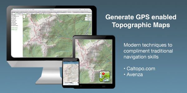
Traditional navigation techniques using map, compass, altimeters and other navigational tools are vital to safe recreation in the backcountry. But in the 21st century, the age of technology, there are extremely powerful, digital tools that supplement traditional practices. This one day course utilizes Caltopo.com and the Avenza app to put you in the driver seat to building advanced maps so you can unlocking new terrain. We'll cover the basic elements of these digital tools as well as get into more advanced features so you can plan tours from the comfort of your home and execute when the conditions are right. Granite Backcountry Alliance will be utilizing these GPS enabled maps for their glade zones. This is your chance to learn the skills to make the most out of the new glades!
COURSE DETAILS
January 25, 2020
8AM - 11AM
REQUIRED CAPABILITIES
Technology: Laptop Computer, Smart Phone
Programs & Apps: Internet access, Avenza App
PRICING
FREE for Otto Rd Participants
WHERE TO MEET
Great Glen Trails
1 Mt Washington Auto Rd. Gorham, NH 03581
Navigation Workshop 8AM-11AM
Building Enhanced Maps and Interfacing with Avenza PDF
- Generate GPS enabled, topographic maps of any location in the world
- Customize the look and feel of your maps to suit your desired needs
- Share maps with friends and family instantly
Instructional Objectives
- Introduction to Caltopo.com
- Discover map layers and customization
- Adding identifying markers, images, etc.
- Print to geospatial PDF
- Introduction to Avenza
- Discover multiple methods for importing maps
- Understanding the interface
- Uncover the limitations and capabilities
- Share maps with others
- Import .gpx and .kml files
- Benefit from others hard work. Utilize their tracks to enhance your tour plan. How to import GBA glade maps.
- Integrating the Two
- Working Session: Build A Map
Book Online Now
Searching Availability...
- Working Session: Build A Map
 We are proud to work with the Department of Agriculture, the White Mountain National Forest and the Androscoggin Ranger District where we are authorized outfitter guides.
